

This article was written by Martha Hayden and originally appeared on The Restless Viking website on August 8, 2023.
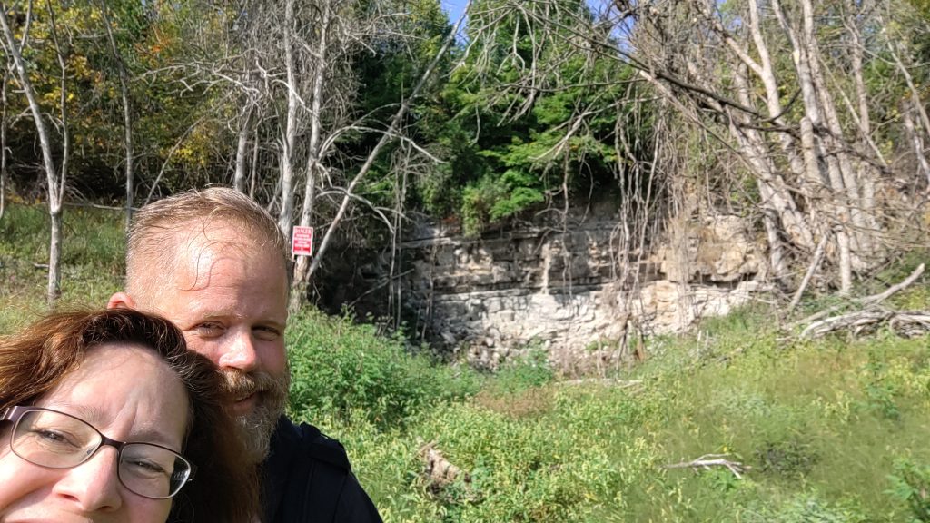
As my husband, Chuck, and I started our hike along the Earth Crack Trail at Mystery Valley, I couldn’t imagine what would be instore. Mystery Valley has been known as a perfect example of a karst containing a disappearing lake! The term karst is used to describe a landform with underground drainage. I wondered what it would look like! Join us on our serious saunter in Posen Township, Presque Isle County.
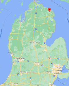
Earthcrack Trail
“Be on the look out for ancient fossils in the limestone.” Chuck pointed to some rocky ground. “This area used to be an ocean near the equator.” He explained.
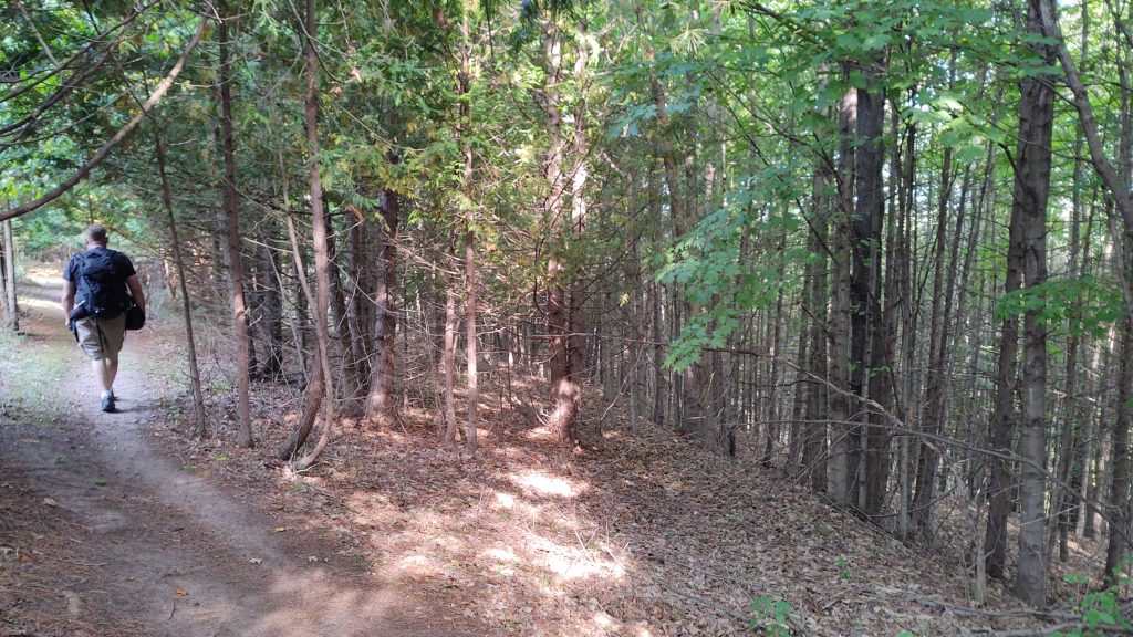
“Stay on the trail” a sign warned. As we walked, holes and cracks from collapsed underground tunnels became visible.
Mystery Valley History
400-500 million years ago this land had been covered by a subtropical ocean lying near the Equator. Glaciers slowly scraped over the area. As the glaciers melted, the land beneath uplifted. This Devonian era limestone had been pushed up to the surface revealing marine fossils: brachiopods, bryzoa and crinoids.
With meteor impacts and lessening oxygen in the salt water, many lifeforms had become extinct. This was period that had created Petoskey stones and gypsum as well as the karst caverns.
“It left behind limestone and gypsum.” These soft minerals had washed away as water slipped through the ground creating miles of caverns.
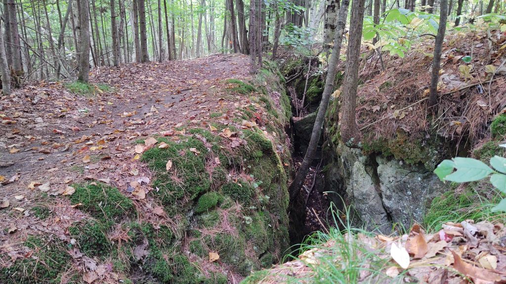
As we continued on our downward path I noted the immense crevices exposing rocks and roots. I also noted the upward angled slope we’d soon be hiking on way back to the Jeep. Did I bring enough water? I wondered.
Mystery Valley’s Disappearing Lake
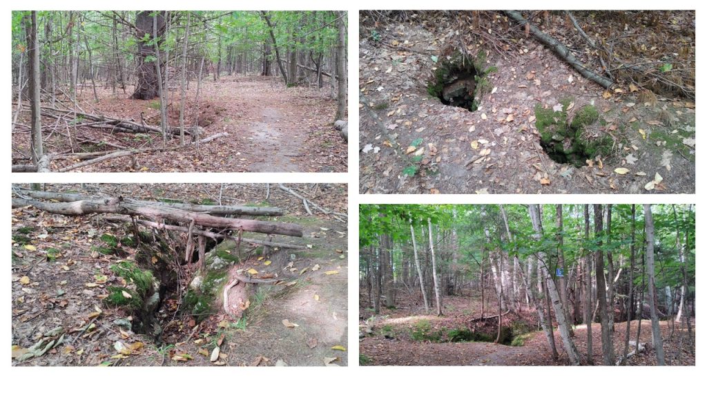
All the caverns below our feet flush water into Lake Huron. The topographical map revealed a Swallow Hole that could drain an entire lake! We continued trekking downward looking for “Mystery Valley’s Disappearing Lake.”
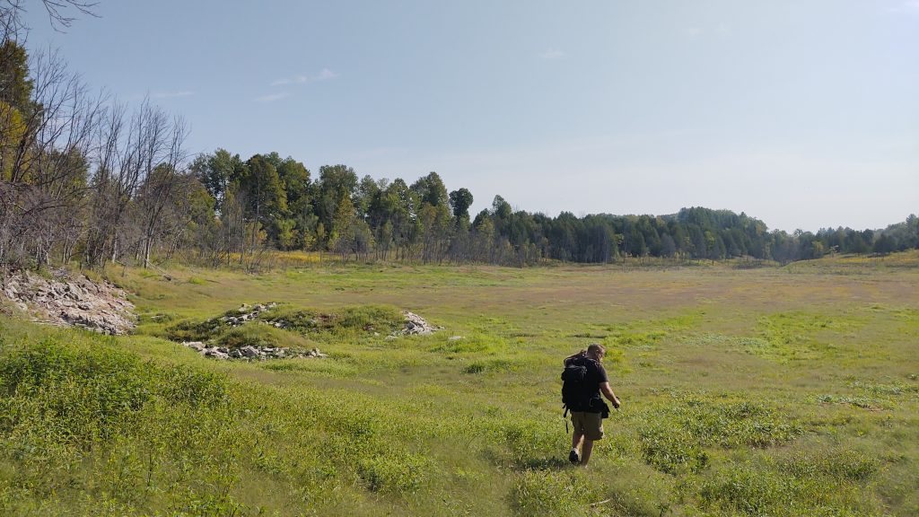
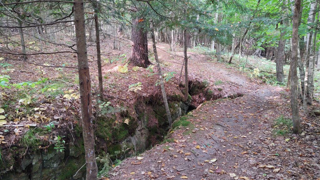
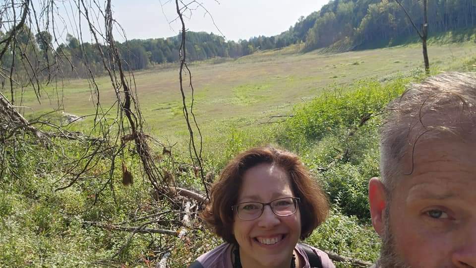
A wide grassy expanse opened before us. Damp mustiness rose from the ground. We’d found the lake bed! But where was the swallow hole? We needed to keep searching!
Walking along the bottom of the lake, I imagined 25 feet of water above me, the usual depth.
Searching For The Swallow Hole
At the opposite end of Mystery Valley lay an alter of rocks formed in the shape of a deep cone. This must be the swallow hole!
My imaginary lightbulb above my head lit like a beacon! As the subterranean caverns filled with high water from snowmelt and rain, this lake would be fed through the swallow hole. Similarly, as the tunnels emptied into Lake Huron, this lake would drain back out the swallow hole. Mystery Valley’s ‘disappearing lake’ would become dry again as it was on this fall day.
“Yeah. When this lake starts to drain, there’s actually a whirlpool that forms.” Chuck had added. “And that was the mystery of Mystery Valley.”
A Second Swallow Hole
But wait. There’s a ridge built up right in front of the large swallow hole. How would the water get over this? We wondered.
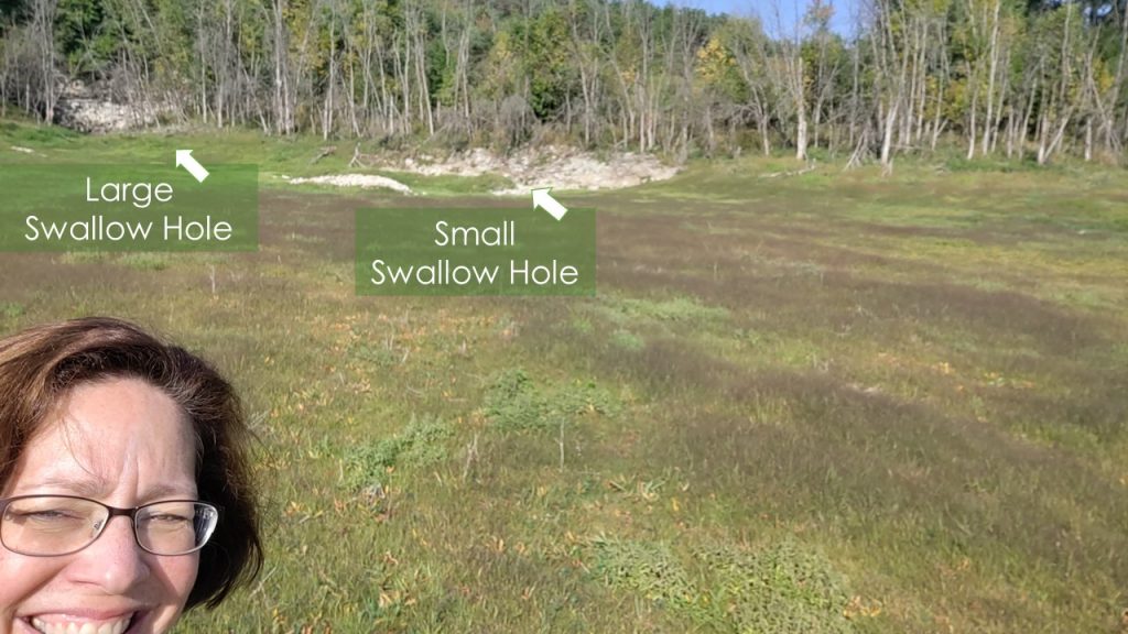
As we began our long trek back to the Jeep, we’d stopped to peer closer at a cluster of rocks nearby. It was another swallow hole. The Mystery Valley Disappearing Lake had been solved!
This amazing hike stretched my mind over millions of years. I encourage you to visit this site and stay curious!
Chuck and Martha Hayden, aka The Viking and Poppins, enjoy going on adventures off the beaten path. They also like to share their explorations with others. The Viking is a retired expedition leader while Poppins is a retired teacher. The two offer independent views of their journeys showcasing places, people, and cultures as they explore the world. Visit and follow them on their website and social media accounts. Website | Facebook | Instagram |YouTube
I enjoy these so much. Martha and Chuck finds wonders in our state that I never knew and I have lived here over 80 years. Thank you so much for taking this hike for me.